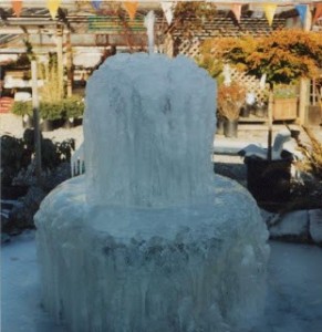
One of those winters!
On eBay someone asked for a better climate zone map. I too would like that, but I suspect it simply doesn’t exist. Zone maps are for regions and do not include altitude, length of winter temperatures, slope exposure, sun, wind etc. My Zone 7 plantings in Clallam Co. WA are mostly because of altitude, secondarily because of tree shade. Our Zn 7 has a winter beginning in Dec. and lasting until mid-Feb., usually it relaxes after that. All told some 2.5 months, sometimes three.
The same Zone 7 in Oklahoma might have two extra months of Zone 7 weather. I suspect the best answer is to address the regional Farm bureau, your AG. Extension office, or some good Nursery. Where I live, there would be are four totally different climate zones in just 15 miles.
Some variations are due to precipitation, the altitude or in my case the proximity to the moderating effects of the Ocean. No govt. map can provide such a detailed “goggle” footprint of climate zones.
One customer of mine said it best. She was in her 70’s and commented on my remark to different climate zones in our own properties. She said, I just took all my clothes off and stood in different places in the garden. I loved it!:-)
My own property has at least a five to ten degree difference in temperature depending on sun exposure, wind etc. One other thing to mention: the variation of day temperatures. Weather maps generally work on the lows, creating these Zone maps. They neglect to factor in day heat degrees. Denver could be 20 in the morning and rise to 75 in the afternoon. The back trunks of trees will be frozen, while the south side warms up and the trunk splits between … often causing the plant to die.
(C) Herb Senft 2009


Good points. I think more should be said about what zones do and don’t tell about what can (or should) be grown and why.